Global Digital Terrain Model 10m

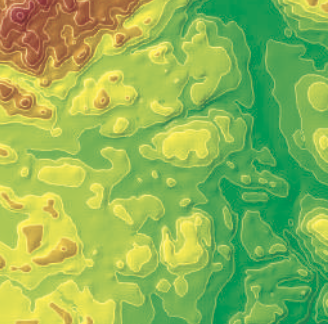
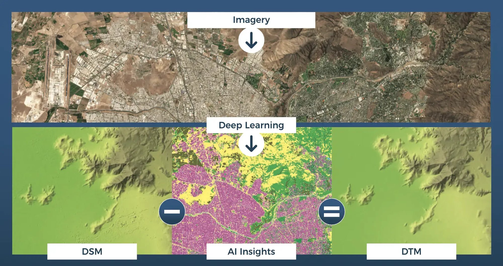
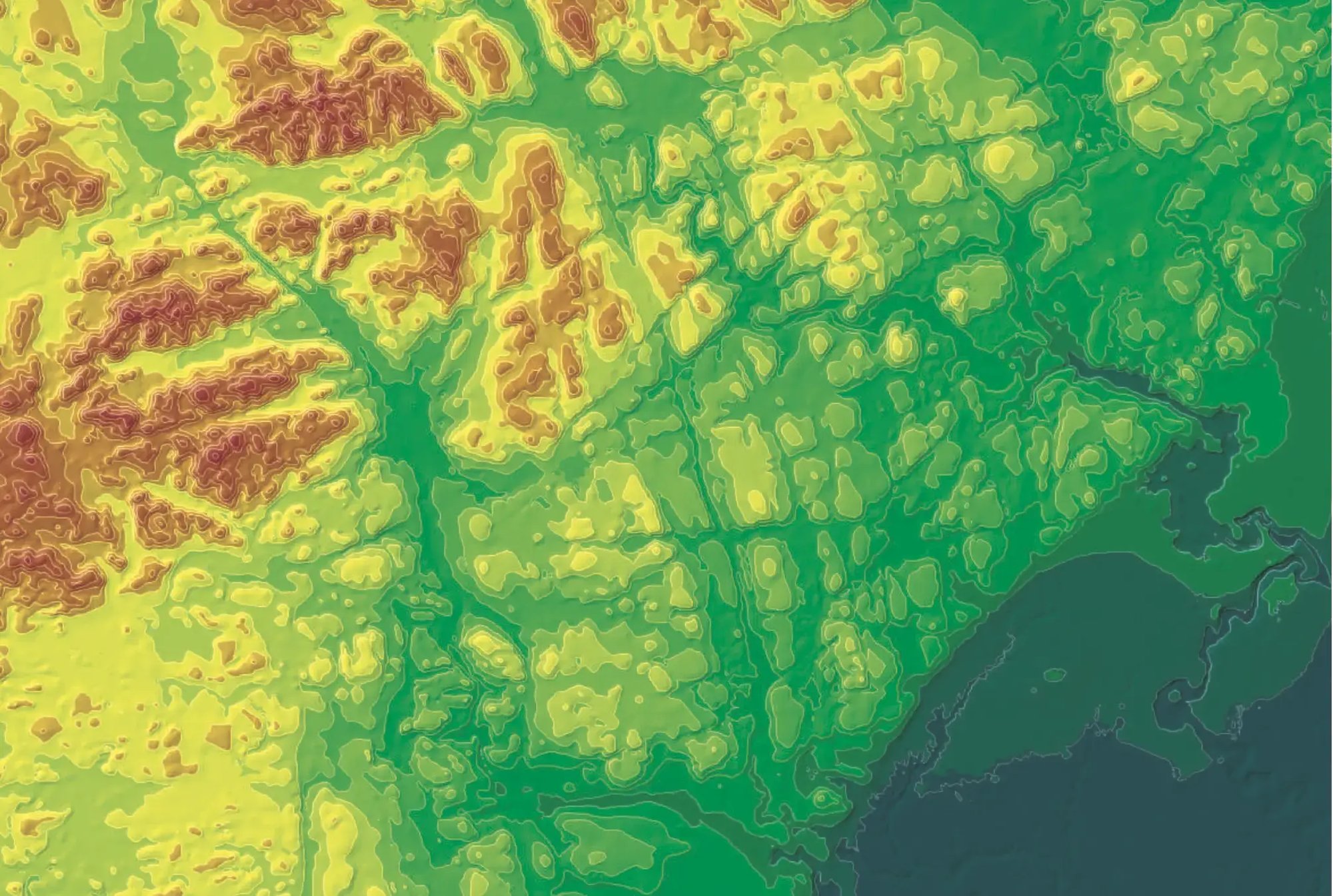
LuxCarta utilizes readily available digital surface models, along with its imagery mosaic and land use/land cover (LULC), to generate a global digital terrain model (DTM) at 10m. DTMs are essential for accurately representing the Earth's surface, enabling precise analysis of topography, flood risk assessment, urban planning and environmental management.
The LuxCarta DTM is produced using Copernicus WorldDEM-30 © DLR e.V. 2010-2014 and © Airbus Defence and Space GmbH 2014-2018 provided under COPERNICUS by the European Union and ESA; all rights reserved.

Technical specifications
- Format: 16-bitraster, GeoTIFF. Other formats upon request
- Streaming support: QTZ server is available to mesh the terrain at runtime for consumption by simulation engines
- Projection: Geodetic*
- Coordinate reference system: metric. Horizontal reference datum is WGS84-G1150 (EPSG4326) and the vertical reference datum is the Earth Gravitational Model 2008 (EGM2008)
- Grid spacing: 10m
- Resolution: 10m spatial resolution
- Absolute Vertical Accuracy < 2.5m (90% linear error)
- Relative Vertical Accuracy < 2m (slope ≤ 20%) < 4m (slope > 20%)
- Absolute Horizontal Error < 6m (90% circular error)
- Source: Sentinel-2 and Copernicus WorldDEM-302010-2014
- Other layers: DSM (surface model) & DHM (height model) derived from DTM available as discrete outputs
- Vintage: 2014-2024
*Only projection supported through online delivery; UTM and other coordinate systems available upon request
Why LuxCarta's Global DTM 10m?
- 10m global land mass availability
- Ease of use-download by geocell, region or the entire globe
- Flexible licensing options
- Created in the cloud; available through the cloud with BrightEarth on Demand
