Global Land Use / Land Cover
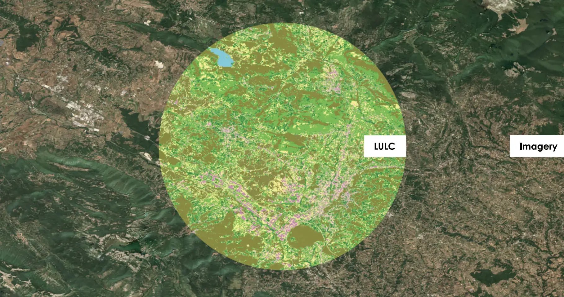
LuxCarta has applied its tuned artificial intelligence algorithms to a continuously updated supply of raw Sentinel-2 satellite imagery to create a global land use/land cover (LULC) basemap.
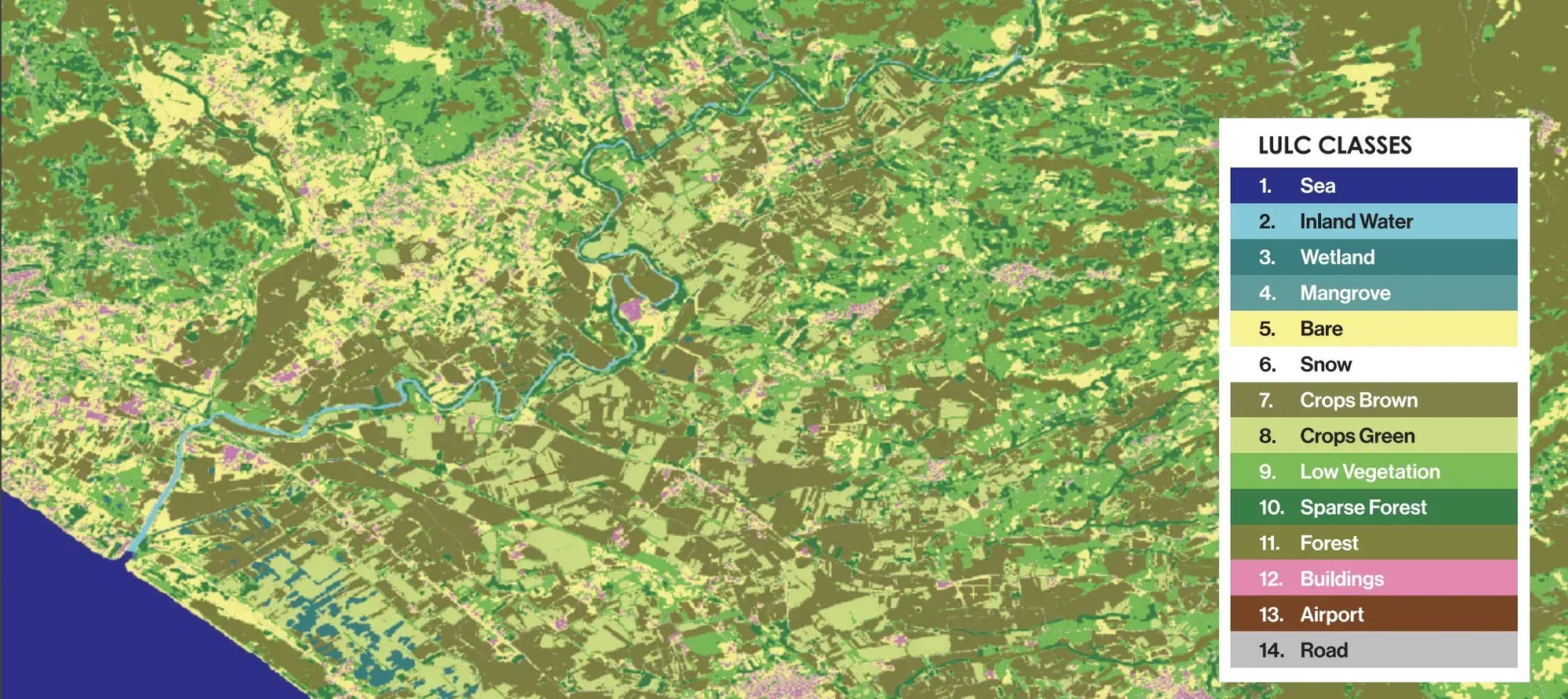
The company's classified imagery release is a 14-class LULC that seamlessly integrates with the 10m cloud-free global mosaic and DtM.

LuxCarta uses imagery provided by the European Space Agency (ESA) to produce its basemaps. The Copernicus Sentinel-2 mission uses a constellation of two polar-orbiting satellites placed in the same sun-synchronous orbit, phased at 180° to each other. Its 290 km swath width and high revisit rate makes it an ideal source for LuxCarta's basemap products and monitoring changes on the Earth's surface. This constant supply of raw imagery allows us to display seasonal change, monitor urban growth and illustrate the impact of natural/manmade disasters.
LULC helps divide the Earth's surface into definable areas that can be queried, monitored and assessed over time. LuxCarta has developed manual processes for pulling land classifications out of raw imagery. These procedures have been automated using artificial intelligence and applied to our 10m global mosaic, accurately dividing the world's landmass into 14 categories.
Product Specifications
- Format : 16-bit, GeoTIFF, JEG2000, ECW; other formats available
Streaming: to integrated applications via XYZ
Tiles protocol - Projection : Geodetic*
- Datum : WGS84
- Resolution : 10m spatial resolution
- Absolute positional accuracy : sub pixel**
- Imagery source : Sentinel-2
- Vintage : Current year with possible older imagery
*Only projection supported through online delivery; UTM and other coordinate systems available upon request
**Absolute positional accuracy of 5-8m (CE90)
Why LuxCarta's LULC?
- 10m global land use/land cover
- Seamless integration between the global mosaic,
- LULC and DIM
- Accurate and consistent global classification
- Leading LULC class segmentation
- Continuous updates
- Created in the cloud; available through the cloud with BrightEarth on Demand
- Ease of use - download only the area you require

Just the Beginning
The 14-class LULC is our current product offering. LuxCarta's R&D is dedicated to automating existing classification techniques and introducing more categories to this global basemap.